REALITY CAPTURE SURVEYS
Our Professional Reality Capture Services
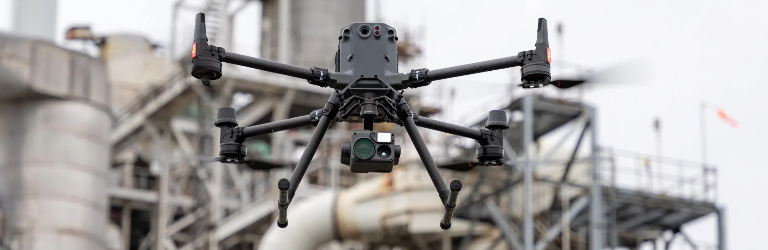
Bowden Survey delivers precise mapping and 3D modeling services for residential, commercial, and large-scale development projects. By utilizing ground-based and aerial LiDAR paired with photogrammetry our data products support developers, engineers, and construction teams with dependable, high-accuracy datasets for planning, design, and project analysis.
2D Mapping & Geospatial Services
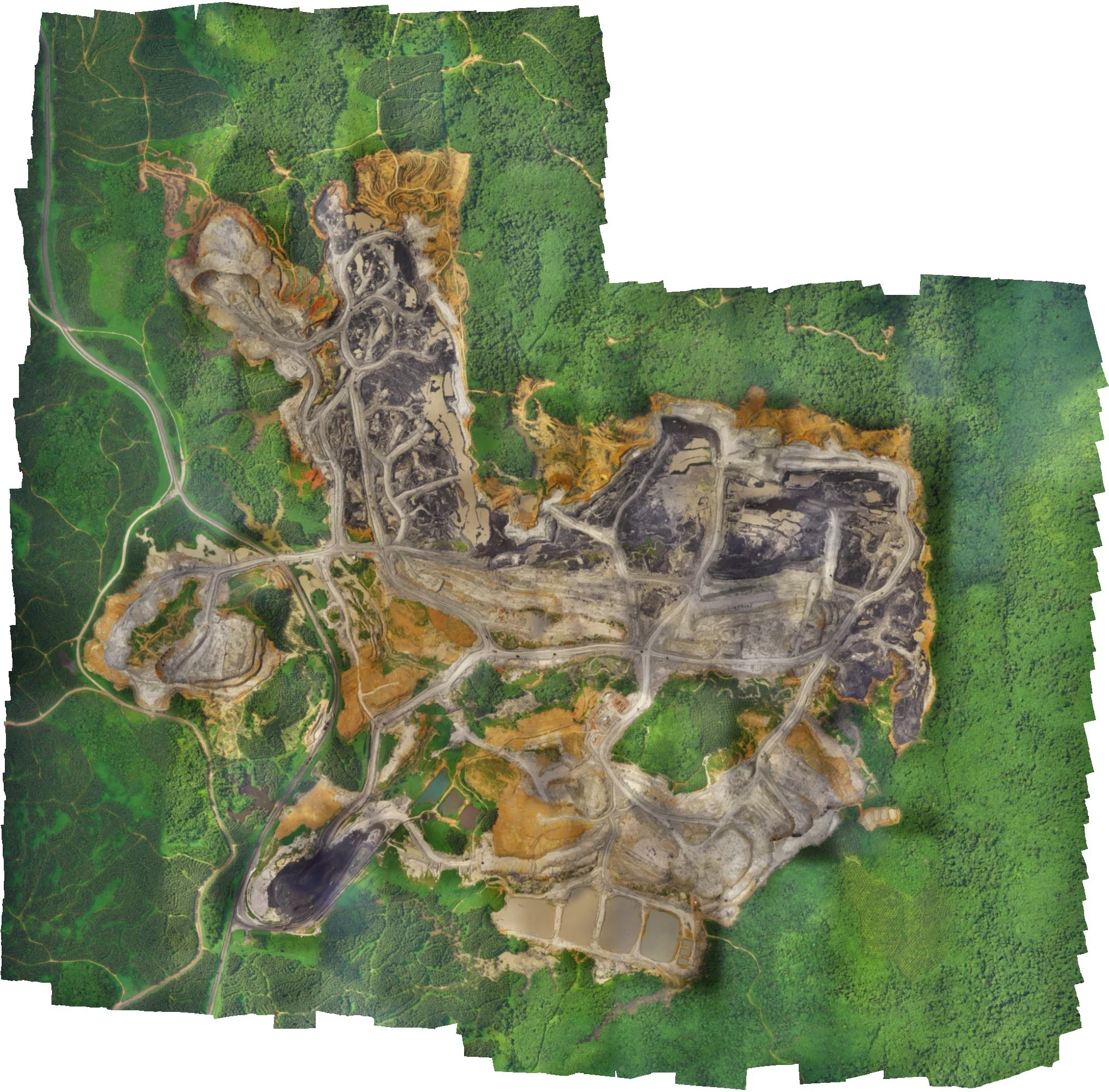
Orthomosaic Maps (GeoTIFF)
Site Progress Maps
Large-Area Site Capture
GIS-Compatible File Exports
Terrain, Surfaces & Volumetrics
Digital Elevation Models (DEM)
Digital Terrain Models (DTM)
Digital Surface Models (DSM)
Contour Generation
Cut & Fill Analysis
Stockpile Volumes
Slope & Drainage Analysis
3D Modeling & Point Clouds
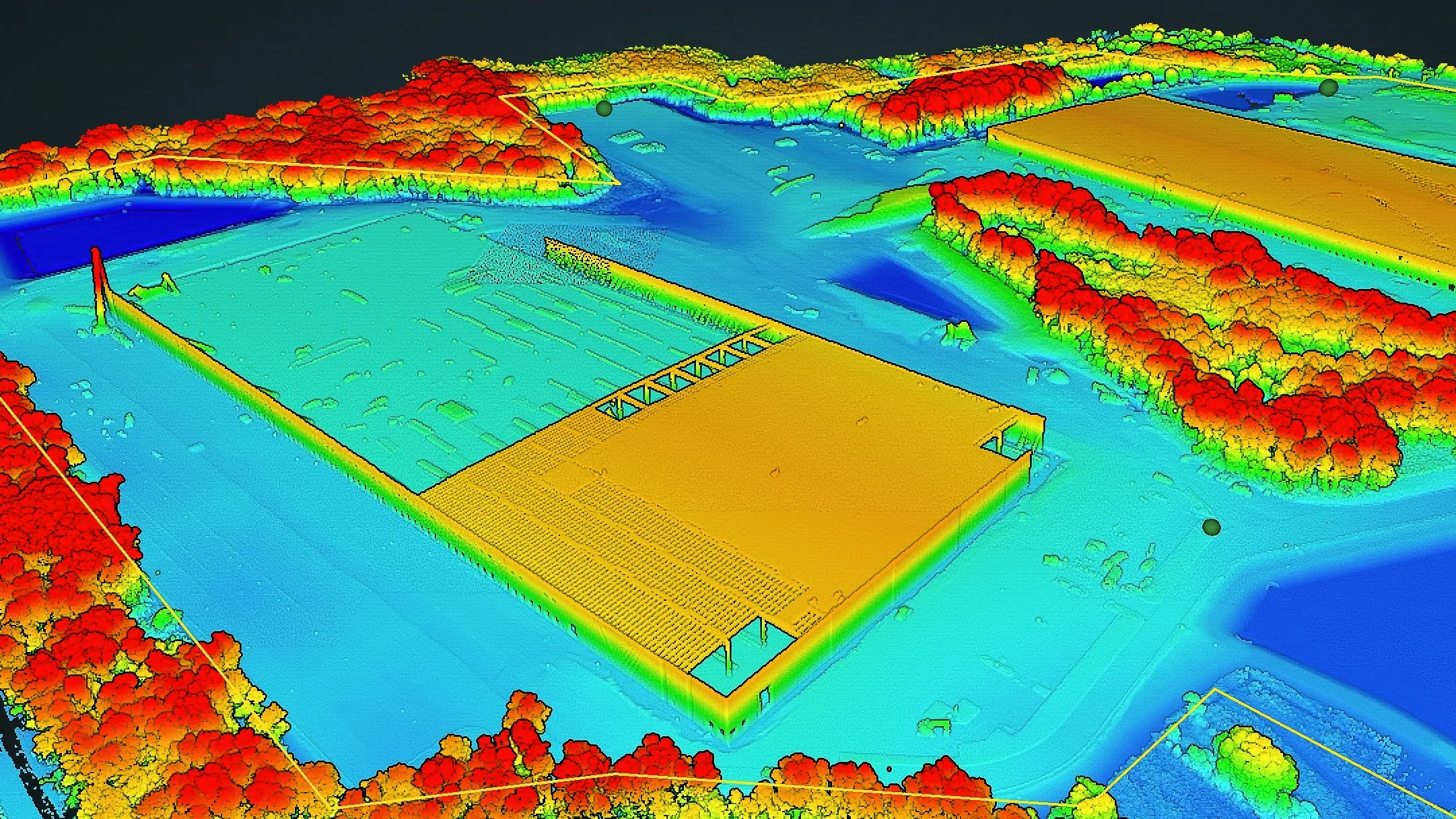
Dense Point Clouds (LAS / LAZ)
Classified Point Clouds
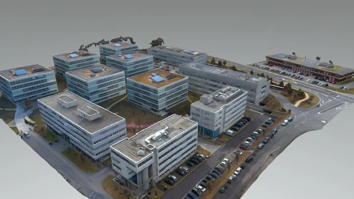
Photorealistic 3D Mesh Models
Existing Conditions Models
Structure & Asset Models
BIM Model Support